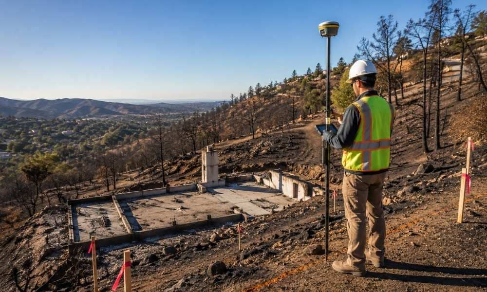
A hillside lot after a fire looks deceptively simple. The house is gone. The slope is bare. But underneath that bare dirt, everything has changed. Soil has shifted. Old drainage paths have disappeared. And the elevation data your rebuild plans depend on may no longer match what’s actually there.
Across San Diego County’s foothill and backcountry communities, rebuild permits are stalling for one common reason: outdated or missing topographic data. County planners can’t approve grading without it. Engineers can’t design retaining walls without it. And homeowners often don’t realize they need it until their permit gets bounced back.
Here’s when a topographic survey stops being optional and becomes the thing your entire rebuild depends on.
Flat lots and hillside lots don’t play by the same rules. San Diego County has specific hillside review standards for properties on steep slopes. Once your lot falls inside one of these overlay zones, the survey requirements shift.
A flat-lot rebuild might only need a basic boundary and elevation check. A hillside lot needs slope percentage calculations across the property. It needs denser contour data. And it needs proof that any grading stays within what the slope ordinance allows.
Skip this step, and your plans get sent back before they ever reach a reviewer’s desk.
Fire doesn’t just burn the house. It changes the ground itself.
Heat bakes the topsoil, making it harder and less able to absorb water. Root systems that once held soil in place burn away. Without vegetation, rain runs straight downhill instead of soaking in.
That means a slope’s behavior after a fire is not the same as before it. Water moves differently. Erosion risk goes up. Loose material sits where stable ground used to be.
This is exactly why old survey data can’t simply be reused. A topographic survey done after the fire captures the slope as it actually behaves now, not as it behaved a year ago.
Contour lines are the backbone of any grading plan. On a hillside, they need to be tighter and more precise than on flat ground.
Why? Because engineers use these contours to calculate cut and fill. Cut is the soil removed to level a building pad. Fill is the soil added back to raise low spots. Get this balance wrong, and you either haul away expensive dirt or bring in more than the lot can safely hold.
Tight contour intervals, often one or two feet apart on steep terrain, give engineers the detail they need to run these calculations correctly the first time. Loose or outdated contours lead to redesigns, delays, and change orders mid-construction.
A topographic survey and a geotechnical report are not the same document, but they work together.
The survey maps what’s there now: elevations, slope angles, drainage paths, existing structures. The geotechnical engineer then uses that map to test the soil and judge whether the hillside can safely support new construction.
Order these out of sequence, and you waste time. A geotechnical report based on incomplete or old elevation data may need to be redone once accurate survey data comes in. Getting the survey first, then handing it to your soils engineer, keeps the rebuild moving in one direction instead of backward.
County plan checkers look for specific things before they’ll approve a hillside grading permit. Your survey needs to show all of them clearly.
That includes:
Miss one of these, and the permit comes back with corrections. Include them all upfront, and your plan checker has what they need to sign off without a second round of questions.
Does a fire-damaged hillside lot need a new topographic survey, or can I reuse the original one from before the fire?
In most cases, yes, you need a fresh survey. Grading, vegetation loss, and soil movement after a fire can shift slope contours enough to make older elevation data unreliable for permitting.
How does San Diego’s hillside overlay zone affect the scope of a topographic survey?
Properties inside a designated steep slope or hillside review area typically need denser contour intervals and added slope-percentage calculations, beyond what a standard lot survey provides.
Can a topographic survey be done before debris removal is finished on a burned hillside lot?
A preliminary survey is possible. But a final survey used for grading permits usually needs to wait until debris and unstable material are cleared, so the surveyor can capture accurate ground elevations.
What’s the difference between a topographic survey and a slope stability report for hillside rebuilds?
The topographic survey maps existing ground elevations and features. The slope stability report, prepared by a geotechnical engineer, uses that survey data to judge whether the hillside can safely support new grading and construction.
Will the county require updated topographic data if I’m only rebuilding the same footprint after a fire?
Often, yes. Even same-footprint rebuilds on hillside lots may need updated grading and drainage plans if the original elevation certificate or survey predates current slope ordinance requirements.