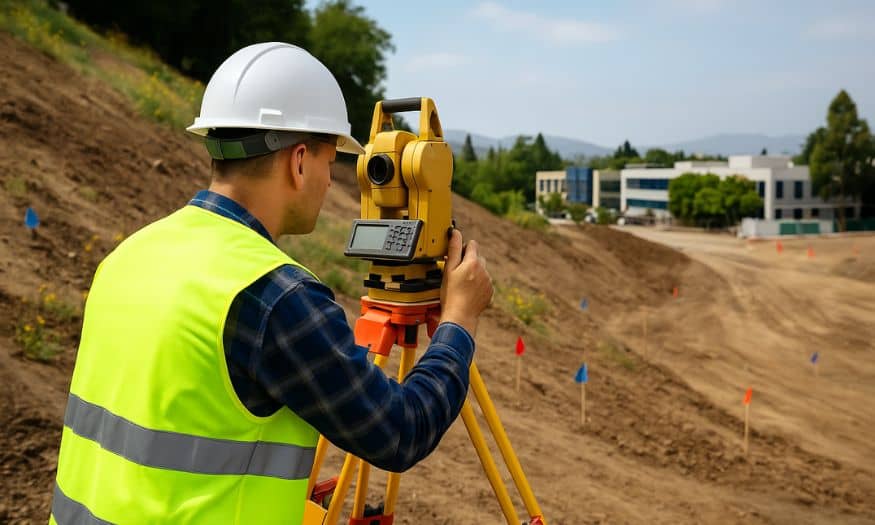
Construction projects in San Jose face unique challenges due to the region’s hilly terrain and seismic activity. Conducting a topographic survey in San Jose, CA is a critical first step in reducing construction risks, protecting your investment, and ensuring project success.
Construction projects in San Jose face unique challenges due to the region’s hilly landscape, fault lines, and flood-prone areas. These conditions make accurate construction site surveying an essential step in identifying and addressing risks before breaking ground. Overlooking these factors can lead to costly errors, legal issues, or structural concerns down the line.
1. Unstable Terrain and Earthquake Risks
San Jose is near major fault lines, making some areas vulnerable to earthquakes. Ignoring terrain stability can cause structural failures or costly repairs.
2. Flooding and Drainage Issues
Poor drainage planning can lead to flooding or erosion, especially during heavy rains.
3. Incorrect Property Boundaries
Unclear boundaries may result in legal disputes, delays, and added expenses.
1. Identifies Terrain Challenges Early
A professional survey accurately maps slopes, elevations, and ground stability, allowing safer, earthquake-resistant designs.
2. Prevents Flooding and Drainage Problems
Accurate data helps planners design effective drainage systems, preventing future flooding or erosion damage.
3. Establishes Clear Property Boundaries
Clearly defined boundaries avoid costly legal battles or disputes with neighboring properties.
1. What does a topographic survey include?
It provides detailed data on land features, elevations, slopes, and boundaries for construction planning.
2. How does a topographic survey reduce earthquake risks?
Surveys identify unstable areas, helping you design safer buildings and foundations.
3. When should I get a topographic survey in San Jose?
Before starting any major construction, landscaping, or property development project.
4. Is a topographic survey required by law in San Jose?
Many building permits require one to meet local codes and regulations.
5. How much time does a topographic survey usually take?
Typically 1–2 weeks, depending on the property’s size and complexity.


