A well-designed driveway adds both function and value to your property. In Los Angeles, with its sloped terrain, tight urban lots, and strict permitting rules, designing a driveway takes more than just good planning. Topographic surveys provide accurate elevation data and site details needed to build safely, comply with city codes, and avoid costly surprises.
Sloped Terrain
Many neighborhoods in Los Angeles are built on hills, which makes driveway access more complex and potentially unsafe if not carefully planned.
Limited Lot Space
Urban lots are often narrow or shared, requiring a custom layout that maximizes space without violating zoning rules.
Local Codes and Permits
The city enforces strict guidelines on curb cuts, grading, and runoff. Failure to meet these can lead to delays or redesigns.
Environmental Concerns
Poor drainage can cause erosion or foundation damage—especially in older neighborhoods with aging infrastructure.
A topographic survey is more than just lines and elevations. A detailed site survey for construction gives your architect, contractor, and permitting office the full picture of your property—ensuring every decision is based on accurate elevation and grading data.
1. Evaluates Slope and Elevation
2. Plans for Drainage
3. Aligns with Existing Features
4. Eases the Permit Process
Homeowners who skip the survey often face unexpected problems, including:
A small upfront investment in surveying can prevent these risks entirely.
A homeowner in the Hollywood Hills planned to replace a steep, cracked driveway. Before construction began, the homeowner ordered a topographic survey in Los Angeles CA, which revealed uneven grading and drainage problems.
Using the survey data, the design team adjusted the driveway slope, added a drainage channel, and submitted accurate plans to the city. The result? Faster permits, safer access, better water management, and an increase in property value.
1. Is a topographic survey required for driveway permits in LA?
Often, yes. The city may request elevation and grading data during permitting.
2. What tools are used in a topographic survey?
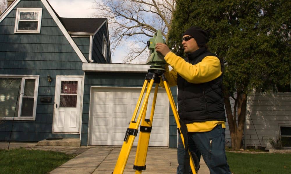
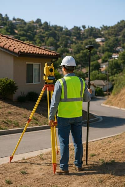
GPS, total stations, drones, and LiDAR are commonly used for accuracy.
3. How long does the survey process take?
Typically 1 to 2 weeks from fieldwork to final report.
4. Can I use the same survey for other projects on my property?
Yes. If the survey is recent, it can support landscaping, additions, or drainage improvements.
5. How much does a topographic survey cost in Los Angeles?
Costs usually range from $800 to $2,500 depending on lot size and terrain complexity.


