Announcing Drone Aerial Mapping Services
Much like any other type of survey, a topographic survey, or topo survey for short, is done to locate natural and man-made features on a particular parcel of land. This is sometimes called planimetric features or things you can see from a plan view as if you were hovering over the site. The topo survey is different in that the elevation of the surface of the land is surveyed and represented on the resulting map of the survey. The topo survey usually also includes any man-made underground features, like utility lines. The survey will also show above ground improvements like buildings, utility poles, retaining walls, etc.
topo survey
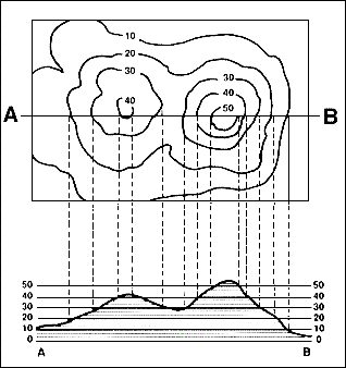
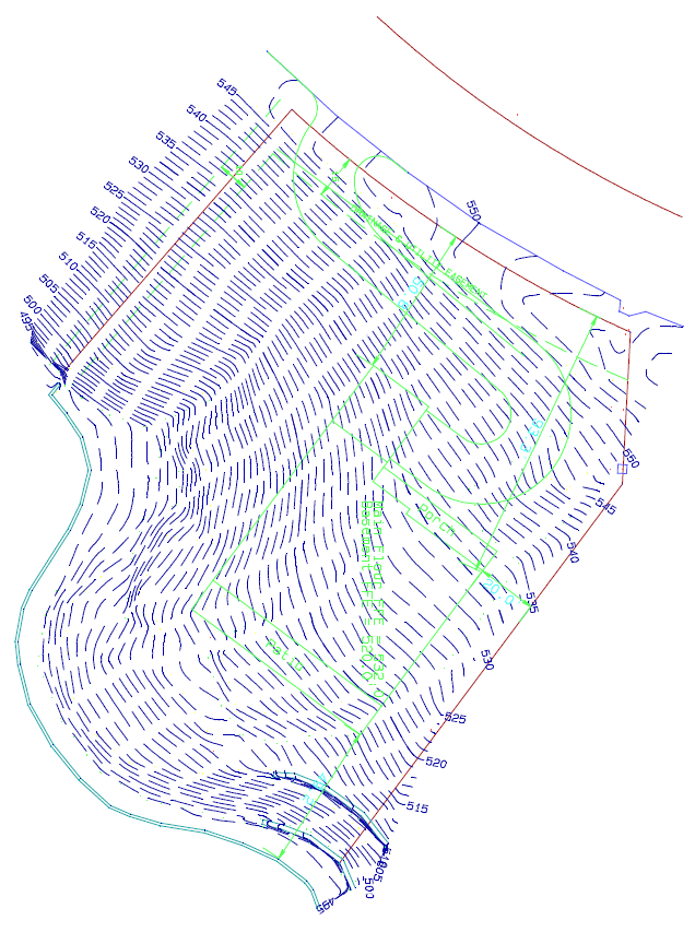
The elevation or differences in elevation on the surface is usually shown as contours. A contour line is a line that connects points of equal elevation. There is usually a contour interval set, say 1-foot for conventional survey. An aerial topo survey may have a contour interval of 2-foot to 5-foot typically. Again, these contours are a way to represent the relative elevations of the surface of the land. By industry standards, contour lines are accurate to within half the contour interval. So, a 1-foot contour line should be within a half foot (0.5’) of the actual elevation on the ground.
Some topo surveys also supplement the contours with spot elevations at certain important points. Depending on the purpose of the survey, these spot elevations may be accurate to a tenth of a foot (0.1’) or even a hundredth of a foot (0.01’) of the actual elevation.


