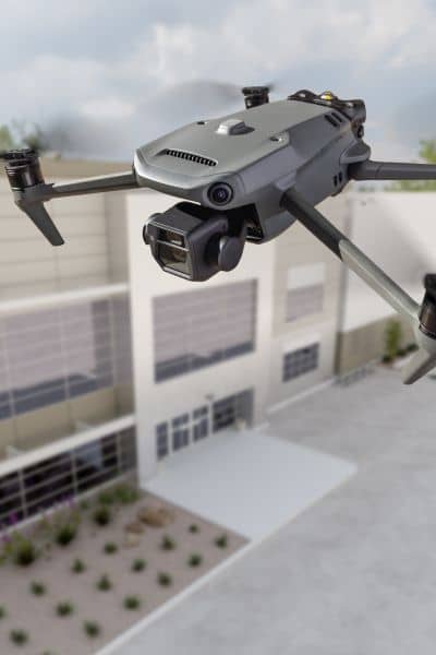
In Los Angeles, every square foot counts. From steep hillside homes in Hollywood Hills to small lots in Silver Lake and Echo Park, mistakes can cost thousands. Builders and landowners need accurate data. Drone land surveying delivers that accuracy.
As the city grows taller and denser, drones give surveyors a faster way to measure land. They cut risk, save time, and make projects more reliable.
Los Angeles mixes flat land, canyons, and steep hills. In places like Mount Washington or Bel Air, even a small error can damage drainage, walls, or foundations.
Drones fix this problem. They capture thousands of data points, even in areas that are hard to reach. This gives surveyors a complete picture of the land.
In Koreatown, Mid-City, and Boyle Heights, narrow lots leave little room to work. Fences and nearby buildings block ground survey equipment.
Drones fly over obstacles. They map every corner with precision, something traditional tools can’t always do.
The city enforces hillside and zoning rules. If a survey is wrong, permits get delayed and plans cost more to fix.
A drone survey gives current and detailed maps. Surveyors meet Los Angeles Department of Building and Safety (LADBS) standards the first time.

Collect More Data – Traditional surveys measure only certain points. Drones scan thousands of images and readings across the site. More data means more precision.
Measure Elevation with Care – Surveyors use drones with LiDAR or photogrammetry to map slopes. This is vital in Brentwood or Pacific Palisades where an inch of error changes grading or drainage plans.
Keep Crews Safe – Slopes and active job sites put surveyors at risk. Instead of climbing, drones fly over. They gather consistent data without danger.
Show the Land Clearly – Drone photos do more than measure. They give visuals that help builders and architects see layouts, spot issues, and plan better.
The process is fast, clear, and reduces mistakes.
In Los Angeles, land is costly and rules are strict. Builders, homeowners, and developers can’t afford errors. Drone land surveying gives them accurate data to plan with confidence.
Work with a licensed land surveyor who offers drone services. They will map your land the right way and help you avoid costly surprises.