If you own property, you’ve probably heard about the flood elevation certificate. Many people think you only need it once, but that’s not true. Flood risks change, and the rules change too. When FEMA updates its maps or when the city improves flood control, old certificates may no longer be valid.
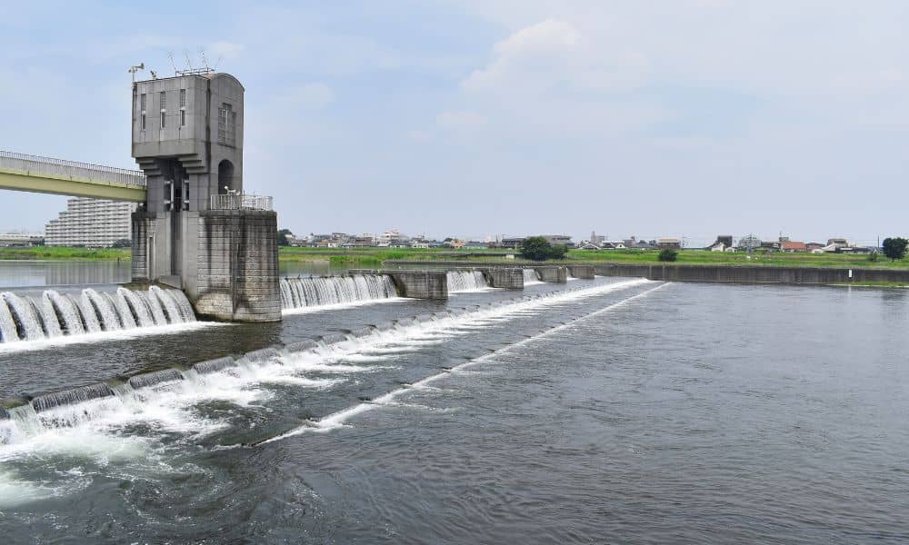
Sacramento has always dealt with flooding. With both the Sacramento and American Rivers nearby, the risk is real. Big projects like the Sacramento Weir expansion are changing how water flows. This can shift flood zones, which means property owners may need new certificates for insurance, permits, or sales.
A flood elevation certificate is a report prepared by a licensed surveyor, engineer, or architect. It shows how your home or building compares to FEMA’s base flood elevation. Lenders, insurers, and city officials use it to see if your property is above or below expected flood levels.
This document often decides if you can get a permit, close on a loan, or qualify for lower insurance rates.
Even if you already have one, your certificate may no longer match current data. Here’s why:
People are often asked for an updated flood elevation certificate at key times. If you plan a big remodel, the city will likely require a current certificate before issuing permits. Lenders in the River District often ask for new data before approving loans. And when FEMA changes maps after projects like the weir expansion, insurance companies usually require fresh certificates.
In situations like these, working with local flood zone survey services helps property owners confirm their current risk and stay compliant with updated requirements. Low-lying areas see these requests most often.

A professional land surveying team uses specialized tools to measure your property. They connect your site to NAVD88 benchmarks and compare results to FEMA maps and the city’s floodplain data. Because it relies on both federal and local systems, this step makes sure your certificate is accepted by insurers and city offices.
Most certificates take just a few days to complete, but location can affect the process. Properties near levees or in the Natomas Basin may need extra checks, which can take longer.
Cost depends on size and complexity. A small lot may be simple, while bigger parcels can take more time. Think of the fee as an investment—an accurate certificate can lower insurance costs and prevent delays.
Some owners try to reuse an old certificate, but that can backfire. A homeowner in Natomas used one from 2012 for a renovation. The city rejected it because FEMA had redrawn the maps. Their project was delayed for weeks until a new survey was done.
In Sacramento’s changing floodplain, using an outdated certificate is risky.
Treat your flood elevation certificate as something that needs updates, not a one-time task. Don’t wait until an inspector, lender, or insurance company forces you to get one.
Keep an eye on FEMA updates and projects like levee work or the weir expansion. Work with a licensed surveyor who knows local benchmarks and rules. And update your certificate before refinancing, selling, or starting construction.
By being proactive, you’ll save time and avoid stress.
Flood risks keep changing. Between FEMA map updates and major projects, properties once seen as safe may now face higher risk. That’s why your next flood elevation certificate matters so much.
Working with a local surveyor gives you accurate data and peace of mind. In a city where rivers are both an asset and a threat, keeping your certificate current protects your property and helps you plan with confidence.


