Earlier this month, Sacramento announced a $1.6 billion flood defense and levee upgrade. The goal is to protect the city from major flooding, but the effects reach beyond Sacramento. For homeowners, builders, and developers, this news should be a wake-up call. Flood safety rules are getting more attention, and one document is at the center of it all: the elevation certificate.
This certificate shows how high your home or building is compared to the official base flood elevation (BFE). Without it, you could face higher insurance costs, delayed permits, or even loan problems. With flood concerns growing across the Sacramento region, the elevation certificate is more important than ever in Roseville.
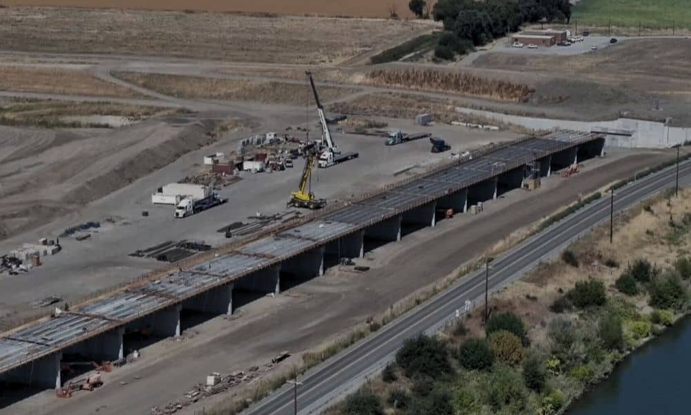
The U.S. Army Corps of Engineers is working on levee repairs, sealing seepage areas, and upgrading weirs along the Sacramento River. These changes are about safety, but they also affect how lenders, insurers, and government agencies see flood risk across the region.
Roseville isn’t right on the river, but it shares the same watershed. If FEMA updates its flood maps because of new studies, some neighborhoods could be added to flood zones. If that happens, homeowners will need an elevation certificate to prove their property meets safety rules.
FEMA’s rule is simple: the lowest floor of a building must meet or be above the BFE. Roseville adds its own rule. Local code says finished floors must be at least two feet higher than the BFE.
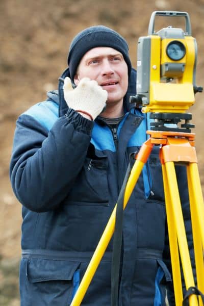
That extra safety margin is called “freeboard.” It helps protect homes from stronger storms or unexpected floods. But it also means you can’t just rely on FEMA’s maps. You need proof from a licensed surveyor—and the elevation certificate is that proof. Without it, your project can get stuck at the permit stage.
Each year when the rainy season approaches, surveyors get a rush of calls for elevation certificates. Homeowners refinancing, contractors submitting plans, and developers starting projects all need them at the same time. That can cause delays.
With the flood project in the news, demand may rise even more. Lenders and city officials often want clear verification of a property’s elevation before they sign off on loans or permits. If you wait until that request comes, you could miss deadlines. Being proactive gives you time to get the certificate prepared and avoids last-minute problems with financing, approvals, or insurance.
The elevation certificate is part of a bigger picture. Other surveys often support it:
Together, these surveys keep projects compliant and safe. The elevation certificate is the key document that ties everything together.
If you own or plan to build, here’s what to do:
Even if your property is not in a mapped flood zone now, it’s smart to plan ahead. New maps or heavy storms can change things quickly.
Think of a developer planning homes near Dry Creek. If they skip elevation certificates and FEMA updates the maps mid-project, they might have to redesign houses at great cost.
Or picture a family refinancing. The bank asks for an elevation certificate. If they don’t already have one, the closing is delayed. A small delay like this can cost them a good loan rate.
These examples show why the certificate isn’t just paperwork—it protects time, money, and property value.
Sacramento’s levee project is a massive investment in safety, but it also puts flood risk in the spotlight. Property owners should take note. Floodplain rules are getting stricter, and compliance is not optional.
An elevation certificate is the proof that keeps your project moving and your finances safe. By getting one early, you’re not just following rules—you’re protecting your property and your future.
The $1.6B levee upgrade is about more than stronger walls along the river. It’s a reminder that flood risk affects the whole region. For Roseville, the best response is clear: secure an elevation certificate before you need one.
Whether you’re planning a remodel, building new, or refinancing your home, this document can make the difference between smooth approvals and costly setbacks. Don’t wait for a storm—or a lender—to force your hand. Get your elevation certificate now and stay ahead.


