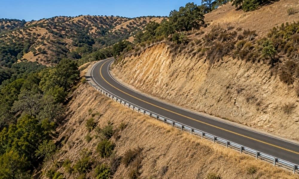
California has plenty of roads cut into hillsides. You see them along the coast, through canyons and across the foothills. These slopes shift over the years, and that slow movement can change the shape and height of the road on top of them. Before a team designs a fix for a failing hillside road, they need a clear read on how the road sits today. An elevation survey gives them a measured starting point.
A hillside road never stays flat. It climbs and drops along its length. It also tilts from one edge to the other so water can run off. On a slope, those changes can be sharp.
Your eyes can trick you here. A section that seems level might actually fall several inches across the lane. A shoulder that looks solid might sit lower than the pavement beside it. A quick walk along the road tells you very little about the real numbers.
An elevation survey records those numbers. A crew measures heights at the road edges, the shoulders, the centerline and the drainage structures that carry water off the slope. The result is a measured record of the road’s real shape, not a guess based on a visual check.
Every survey starts from known reference points. Surveyors set control and tie their work to benchmarks, which are fixed marks of known height. That keeps all the measured points on the same vertical footing.
From there, the crew records elevations at spots that matter to the project. That includes the pavement surface, the edges, the shoulders and the points where the road grade changes. They note where the surface rises, falls or shifts from one slope to another. They also capture the grade around drainage structures where water leaves the road.
Those measured points become deliverables the engineering team can drop straight into their plans. The exact detail, point spacing and format depend on the project scope and what the engineers ask for. A surveyor sets that scope with the design team rather than assuming one size fits every job.
Once the elevations are on paper, the road starts to tell a clearer story. The longitudinal grade shows how steeply the road climbs or drops along its length. The cross-section shows how the surface tilts from side to side at any given point. Together they map the real geometry of the corridor.
The data also shows the handoffs. It marks where pavement meets shoulder, and where the shoulder meets the ground beyond it. It fixes the relative height of each feature, so the team can see which parts sit high and which sit low.
Engineers can then lay the existing elevations next to a proposed stabilization concept. That side-by-side view shows how much the road would need to move, rise or shift under different plans. It also flags spots where the current road already sits close to a proposed line. The survey doesn’t diagnose why a slope is moving. It shows what the road looks like right now, in numbers the design team can work with.
An elevation survey has real limits, and good planning respects them. Measured heights describe the surface. They say nothing about what sits below it or why the ground is moving.
On its own, an elevation survey does not establish:
Those questions belong to geotechnical, geological, structural and civil engineers. They run their own studies, such as soil borings and slope analysis. The surveyor supplies the measured existing conditions. The engineers build their analysis on top of that record. Both roles matter, and neither replaces the other.
Design choices on a hillside road carry weight. A wall, a regrade or a drainage change all rest on the assumption that the team knows the road’s current shape. An accurate elevation record puts that assumption on solid ground before anyone commits to a plan.
Good projects keep the surveyor, the civil engineer, the geotechnical team and the road owner talking early. Each one needs the same trusted set of existing conditions to work from. Matching the survey scope to the actual project keeps the effort focused and the deliverables useful.
Old elevation data can mislead a team on an active slope. A road that moved last winter may not match a survey from five years back. Recording the road’s real condition before major stabilization work starts gives everyone a fair and current baseline. That’s the practical value of the survey.