If you own property, chances are you’ve looked up your lot online. Maybe you used Google Maps, Zillow, Redfin, or the county parcel viewer. The lines look clear. The shapes seem exact. Everything looks simple. However, in Los Angeles, online property maps often give a false sense of accuracy. Many homeowners, buyers, and builders trust these maps when planning fences, driveways, patios, ADUs, or remodels. Sadly, this mistake can lead to disputes, delays, and costly repairs. That’s why a boundary line survey remains one of the best ways to protect your property rights.
Online maps look detailed. You can zoom in, change views, and measure distance. Because of this, many people think these tools show exact property lines.
Yet most online maps exist for general viewing and tax records, not legal accuracy.
Real estate websites show rough lot shapes to help buyers understand size. County parcel maps display land records for tax use. Satellite images show surface views. However, none of these tools show legal property boundaries.
So, when people rely on them for building or planning, problems often follow.
Los Angeles has special challenges that make boundary mistakes more common.
First, many neighborhoods were built long ago. Old maps often include unclear notes and rough measurements. Over time, changes made land records even harder to follow.
Second, many homes sit on hills. Builders cut and filled land to make flat spaces. This changed natural shapes and removed early markers used to show boundaries.
Third, homes in LA often go through remodels. Additions, ADUs, patios, pools, and walls all change how property lines relate to buildings.
Because of these factors, digital map lines often shift away from true boundaries. Even a small error can cause big trouble.
Knowing what online maps display helps explain their limits.
Parcel maps show tax records. Real estate sites provide visual guides. Planning maps help the city review projects. Satellite images give overhead views.
None of these tools confirm legal ownership lines.
They do not check deeds. They do not find survey markers. They do not match old records with new measurements. Only a boundary line survey does that.
Because online maps look accurate, people often trust them too much. This leads to common mistakes.
Fences sometimes cross into a neighbor’s land. Driveways may sit partly outside legal lines. Retaining walls on slopes often extend beyond boundaries. Patios and decks sometimes cover land that does not belong to the owner. ADU foundations may break setback rules or cross lot lines.
Most of these problems begin with one simple mistake: trusting the map.
At first, these mistakes may seem small. But they often grow into serious issues.
City inspectors may stop work. Owners may need to tear down and rebuild. Neighbors may file complaints. Property sales may stall because of title concerns. Permit approvals may slow down.
All of this adds stress, time, and high cost. In most cases, the price of fixing the mistake is much higher than the cost of ordering a boundary line survey early.
New tools like drones and LiDAR create sharp images and detailed land models. Aerial surveys give clear views from above.
Still, these tools cannot set legal property lines.
They show surfaces, not ownership. They display shapes, not legal records. They capture features, not boundary markers.
Surveyors use these tools to help gather data, but they still rely on legal methods to set boundaries. Because of this, only a boundary line survey can define true property limits.
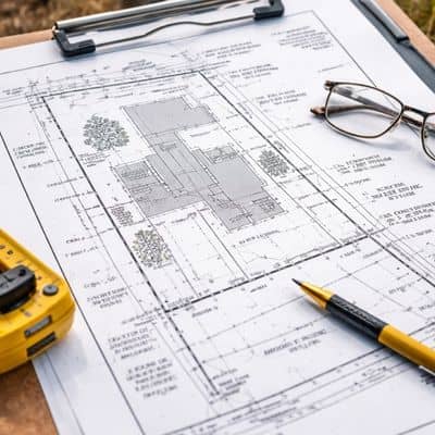
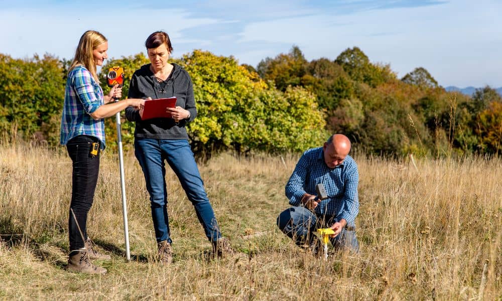
A boundary line survey blends research and field work.
Surveyors begin by reviewing deeds and old maps. Next, they look for original markers placed in the ground. Then, they measure distances and angles using modern tools. Finally, they calculate legal boundary lines and mark property corners.
This process turns paper records into real-world boundaries you can see and trust.
In Los Angeles, many everyday projects benefit from a survey.
You should consider one before building fences, patios, decks, pools, or ADUs. You should also order one before buying property or starting large remodels. If a dispute with a neighbor begins, a survey helps resolve it early.
By ordering a survey first, you reduce risk and gain peace of mind.
Los Angeles includes dense neighborhoods, hills, and old subdivisions. These conditions demand strong local knowledge.
A licensed land surveyor understands local land history, hillside grading, and permit rules. This experience ensures your boundary line survey meets city standards and holds up if questions arise.
Online maps feel easy and helpful. But easy does not always mean accurate.
In Los Angeles, trusting digital maps instead of ordering a boundary line survey often leads to disputes, delays, and high costs. A professional survey provides clarity, safety, and peace of mind.
Before your next project, confirm your true property lines. That one step can save time, money, and stress.


