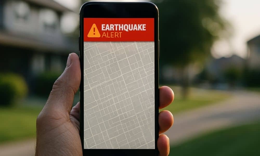
A few days ago, a “big quake” alert lit up phones across California. People grabbed their kids, checked doorways, and texted friends. Then the moment passed. Many people felt nothing. That weird gap—between what your screen said and what the ground did—lands hard in San Jose. And it connects to something homeowners run into all the time: a property survey. Because when you trust a clean digital line on an app, you can still end up wrong by several feet.
Sure, earthquake alerts aim to keep people safe. Still, that “phantom” moment reminded everyone of a simple truth: fast systems guess first and verify later. So today, let’s use that same lesson for property lines—because app maps can “cry wolf,” too.
When an alert pops up, it feels official. It uses numbers, a location, and a bold warning. Likewise, map apps show crisp parcel outlines, satellite photos, and a blue dot that tracks your steps. As a result, your brain starts to treat the picture as proof.
However, maps on consumer apps don’t work like a survey. Those parcel lines often come from GIS layers. GIS helps cities and counties organize data, so it does a great job at “roughly here.” Yet it rarely promises “exactly here.” Meanwhile, the legal boundary of your lot can depend on recorded documents, real corner evidence, and careful measurements that connect the two.
In other words, the app gives you a helpful preview. A survey gives you decision-grade facts.
San Jose homes sit close together. Lots run tight. Driveways squeeze alongside yards. Plus, improvements cost real money. Because of that, a two-foot mistake doesn’t feel small. It can trigger a permit delay, a neighbor argument, or a painful redo.
Also, the Bay Area brings its own challenges. Hills change GPS behavior. Trees block signals. Tall buildings bounce signals. So even if your blue dot looks steady, it can drift. Then you stand there thinking, “I’m on the line.” In reality, your phone simply guesses.
So, if an earthquake alert can misread signals in rare moments, app maps can misread signals in everyday moments. That’s why “close enough” turns into “not even close” at the worst time.
Let’s keep this simple and real.
First, satellite imagery can shift. Different map providers stitch images together from different dates and angles. As a result, a roofline or driveway can look slightly moved. Then you compare it to a parcel outline and assume the parcel must match the photo. But the photo might not line up perfectly.
Next, the parcel overlay often generalizes. It can come from older mapping, broad digitizing, or simplified lines that work at a city scale. That helps planners and tax systems. Still, it doesn’t settle a boundary question on your street.
Third, the “address pin” never equals a corner. Apps place pins for navigation, not for legal location. So the pin helps deliveries and guests. It doesn’t help property corners.
Fourth, the right-of-way confuses people. Curbs, sidewalks, planting strips, and utility areas look like part of “your front yard.” However, the city may control some of that space. That matters if you plan to build, pour concrete, or place structures near the front.
Finally, neighborhoods change. People remodel, add hardscape, and move fences over decades. So the “what you see” version of the line can drift from the true line.
When the quake alert hit, most people didn’t run outside to measure ground motion. Instead, they waited for confirmation. That instinct makes sense. You wanted verification.
Apply the same instinct to your property line, especially before you spend money.
If you plan an ADU, a room addition, a retaining wall, or a driveway change, you don’t want to build on assumptions. Likewise, if you want to remove a tree near the edge, you don’t want to guess whose tree it is. And if you need permits, you don’t want a plan reviewer to ask, “Where’s your boundary support?” while your contractor waits.
So here’s the practical lesson: when the decision carries a real cost, stop trusting the “pretty line.” Start verifying.
That’s exactly where a property survey wins.
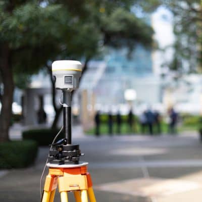
A property survey doesn’t try to look pretty. It tries to stay correct.
Instead of drawing lines on top of photos, a surveyor connects records to reality. They review recorded documents. Then they look for real corner evidence on the ground. After that, they measure and check. They don’t rely on one reading, either. They repeat observations and confirm the math. They also resolve conflicts when old records don’t match what people built later.
Most importantly, you can use the result. You can plan around it. You can discuss it with a designer. You can show it to a contractor. And if someone challenges you, you can point to professional work instead of a screenshot.
So, while an app helps you browse, a property survey helps you decide.
You don’t need a dramatic court case to feel the pain. You just need one normal project.
For example, imagine you want an ADU in the backyard. You open a map app and see a nice rectangular lot. Great, right? Then your designer lays out a plan. Later, you learn the boundary jogs a bit near the back corner. Suddenly, the plan breaks setback rules. Now you redraw. You lose time. You burn the budget.
Or picture a shared driveway along the side. You assume the pavement sits “on your side.” Yet the true line might cut under it. That changes how you handle repairs, gates, drainage, and access.
Now think about a retaining wall on a slope. Water doesn’t care about app lines. If the wall sits too close to the edge and runoff shifts, neighbors complain fast. Then you need facts, not opinions.
These aren’t rare stories. San Jose density makes them common.
App maps still help. Use them for context. Use them to spot nearby features. Use them to visualize shape. However, don’t treat them like a legal boundary tool.
Instead, use them to ask better questions:
Then, if you spot risk, move to verification.
If you plan any serious improvement, treat the boundary like a safety issue. In the same way you want a real answer after a scary quake alert, you want a real answer before you build.
So, call a local licensed surveyor and ask one clear question: “Can you help me confirm the boundary for this project?” That one step can protect your budget, your timeline, and your peace of mind.
Because at the end of the day, screenshots don’t stop disputes. The ground does. And property surveys give you the ground truth you can trust.


