If you’ve been paying attention to Victorville lately, you might have noticed a lot of new homes and warehouses popping up. This growth is exciting for the city, but it’s also causing a big increase in the need for boundary surveys. Boundary surveys are an important step in any land development project. They help mark the exact edges of a property, which is especially important now as Victorville’s subdivisions and warehouses expand rapidly.
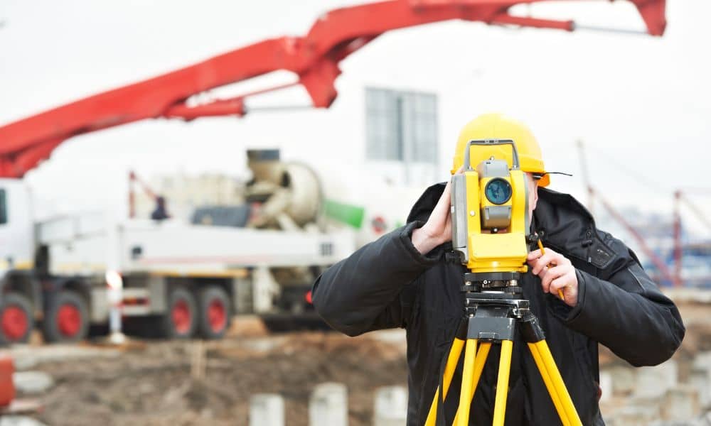
A boundary survey is a detailed map created by a licensed surveyor. It shows the precise lines that define a piece of land. Imagine trying to build a house or a warehouse without knowing exactly where your property ends and your neighbor’s begins. That would be risky and could lead to costly legal problems.
As Victorville grows, developers need boundary surveys to make sure every building is in the right place. This ensures projects follow city rules and avoid disputes with neighbors. Without these surveys, construction can be delayed or even stopped.
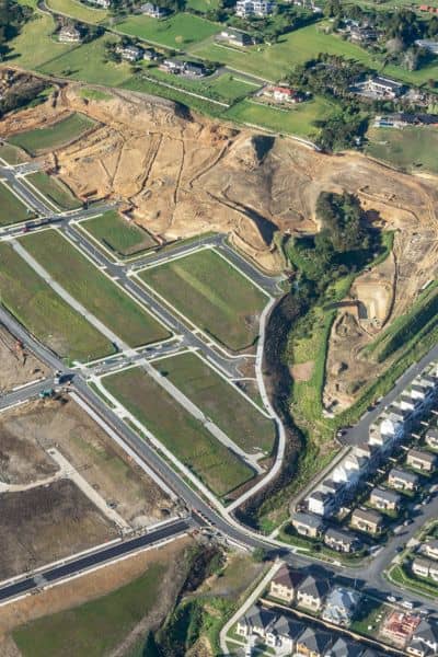
Victorville is seeing more construction than ever before. Recently, there have been plans for new residential subdivisions with dozens of single-family lots. For example, there’s a project proposing 53 new homes on about 19 acres of land. At the same time, large industrial warehouses are planned on sites close to 18 acres.
This kind of growth means more work for land surveyors. Every new lot needs a clear boundary, and every warehouse needs a precise survey to show where buildings and roads will go. This is why boundary surveys are suddenly in such high demand.
There are a few reasons expansion has made boundary surveys more critical:
With so many new projects, local land surveyors are busier than ever. They face some challenges, including:
However, this boom also creates opportunities. Skilled surveyors who know the local area and regulations can grow their business and build strong relationships with developers and city officials.
If you’re planning to buy land, build a home, or develop property, keep these points in mind:
This surge in boundary surveys is a sign that Victorville is growing and changing. New homes bring families, schools, and businesses, while warehouses create jobs and boost the local economy. But it also means the city must handle more complex planning and ensure growth happens responsibly.
Accurate boundary surveys help keep things running smoothly. They protect property rights, help the city enforce rules, and support safe, well-planned development.
As Victorville continues to expand, the role of boundary surveys will only grow more important. Surveyors will need to keep up with new technology like drones and GPS mapping to work faster and more accurately.
Meanwhile, developers and property owners must stay informed about changing rules and the need for precise surveys. When everyone works together, we can keep building a strong, thriving community.
Boundary surveys are more than just lines on a map. In Victorville, they are the foundation of responsible growth. With new subdivisions and warehouses on the rise, surveys protect property owners, help developers, and guide the city’s future.
If you’re involved in land projects here, don’t wait. Talk to a licensed surveyor early and make sure your property lines are clear. It’s the best way to avoid headaches and keep your project on track as expands.


