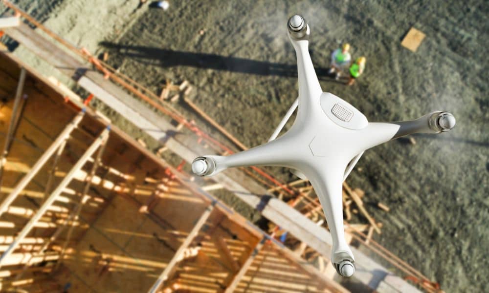
San Francisco and Los Angeles are crowded cities with lots of new buildings going up. But many of their zoning maps are old and based on outdated tools. As cities grow and change, planners need better data to make sure new buildings follow the rules. This is where LiDAR mapping comes in.
In big cities, builders often replace small buildings with taller, mixed-use ones. These are called infill projects. With so much happening in small spaces, it’s easy for mistakes to happen. LiDAR helps by giving accurate elevation and surface data, so planners can check things like height limits, density, and how close buildings are to property lines.
LiDAR plays a valuable role in helping planners navigate San Francisco’s complex zoning challenges:
📏 Building Height Checks – Many neighborhoods have strict height limits that vary based on location and street level. LiDAR gives an accurate measurement of ground and roofline levels, helping ensure buildings meet the rules.
⛰️ Slopes and Setbacks – In hilly areas like Potrero Hill or Twin Peaks, sloped lots make setback rules harder to apply. LiDAR shows the real shape of the land, helping planners measure distances fairly and consistently.
🏙️ Shadow Checks in Overlay Zones – In many parts of Los Angeles, zoning rules aim to protect sunlight and views. LiDAR helps model how new buildings will cast shadows, making it easier to check if projects meet local design standards for light and visibility.
⛰️ Hillside Rule Compliance – LA has strict rules for hillside construction, including limits on grading and building height. LiDAR accurately maps slope and elevation, helping planners and builders confirm they’re meeting these hillside regulations.
LiDAR plays a key role in supporting fair zoning and planning in underserved areas:
•️ Flood Risk Awareness – Identifies low-lying zones prone to flooding, helping prioritize infrastructure improvements.
🌳 Green Space Gaps – Highlights areas lacking parks or trees, guiding equitable distribution of open spaces.
🧼 Accessibility Planning – Provides surface data to support ADA-friendly paths, curb ramps, and entrances.
📉 Zoning Equity – Informs data-driven policy updates that protect and uplift underserved communities.
Smart city planning with LiDAR helps cities design more efficient zoning systems by making elevation and site data clearer, more accurate, and easier to visualize.:
📍 Better Zoning Maps with GIS – Cities are upgrading zoning systems using Geographic Information Systems (GIS). When combined with LiDAR, zoning maps become more accurate, showing real elevation and parcel data in one place for planners, residents, and developers.
🧠 Creating Digital Twins of the City – Cities like LA and SF use LiDAR to build “digital twins”—3D models of the urban environment. These help simulate where to build, how shadows fall, or where water will flow, making it easier to visualize how future projects fit into real space.
A new apartment building near the Expo Line used LiDAR to test how much shadow it would cast on nearby homes. This helped the project pass city review by proving it met light and height rules.
In the Mission District, planners used LiDAR to see how new buildings would affect light and space in narrow alleys. The data led to updates in design rules to improve livability in tight spaces.
Zoning analysis using LiDAR is helping cities like San Francisco and Los Angeles plan smarter. With high-resolution elevation and surface data, planners get the clarity they need to guide development in complex urban environments. This technology supports better zoning decisions, protects neighborhood character, and allows for thoughtful, sustainable growth.
1. How does LiDAR help with zoning codes?
It gives accurate height and surface data so cities can check if buildings follow local rules.
2. Can LiDAR help with affordable housing plans?
Yes, it helps cities see where new housing could go and how it fits with nearby buildings and streets.
3. Is LiDAR data available to the public in SF and LA?
Some LiDAR data is public, especially when collected by city or state agencies.
4. Do architects and surveyors both use LiDAR?
Yes, architects use it for design, and surveyors use it for accurate site plans.
5. How accurate is LiDAR for small lots or infill projects?
LiDAR is very accurate and helps measure slopes, elevations, and space between buildings.


